


 Your new post is loading...

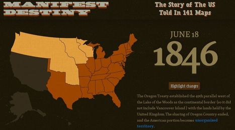

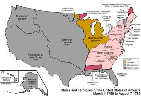
This data visualization project is a great way to demonstrate the geographic expansion of the United States. This is much more interactive than the typical time lapse video since you can scroll through the maps and explore each map through the interactive features.
Tags: historical, USA, visualization, mapping.


This is great idea. I wonder if I can use something like this for my project.