


The Road Map Project brings together experts in geography, education, and research to chart a course for the large-scale improvement of K-12 geography education in the U.S.
Get Started for FREE
Sign up with Facebook Sign up with X
I don't have a Facebook or a X account


 Your new post is loading...
 Your new post is loading...
Your new post is loading...
The Road Map Project brings together experts in geography, education, and research to chart a course for the large-scale improvement of K-12 geography education in the U.S.
Seth Dixon's insight:
Some great educators and geographers have collaborated to design a "road map" for the future of geography education. This is their report. 
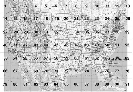
MapMaker Kit. Download, print, and assemble maps of the United States in a variety of sizes. The mega map occupies a large wall, or can be used on the floor. Have you every wanted to create a giant map but aren't sure if you can logistically pull it off? The National Geographic's MapMaker kit is just that, a kit for you to create wall maps from a standard printer and tile them together. The assembly itself is a great spatial thinking and fun exercise for students (and there are large world maps as well). Tags: NationalGeographic, cartography, mapping, K12.
|

This map of Cuba, National Geographic's first map of Cuba in over 100 years, has an incredible backstory. While touring the National Geographic headquarters, the cartographer Juan Valdés (pictured here with me) told me the story of his early days living in Cuba before Castro, Pictured is one of his 36 meticulous drafts produced to create this cartographic masterpiece of his home country. To hear it in his own words, embedded in this link is a 18 minute video of his talk at National Geographic on Cuba and the production of the map. The last 7 minutes are especially helpful for mapping students to see all the decisions and stages involved in creating a professional reference map. Tags: cartography, mapping, National Geographic, Latin America.

Alyssa Dorr's curator insight,
December 16, 2014 9:54 PM
For starters, these pictures were fascinating to look at. It was amazing to see how much time and effort goes in making just one map. The video was informative and really gives you an idea of the unique process that is being done. The pictures fascinated me the most though. You could just tell just by looking at the pictures that they take what they do seriously. Also, you can tell that they are passionate about what they do. You can especially tell that you yourself had a great time and that you were really interested in what was going on. It is really awesome that National Geographic interviewed you about your visit. In the video, it was nice that he started off with some background information about Cuba and the special times that he shared with his father that made him go into cartography. Overall, the pictures and the video were really a sight to see. 
Jared Medeiros's curator insight,
February 11, 2015 10:11 PM
This was a great presentation. I cant imagine how long it must take to make an accurate map, especially when these cartographers are so passionate about their work and their craft. You can tell that to be a cartographer, you must be extremely passionate and dedicated to your craft. 
Rachel Phillips's curator insight,
April 16, 2015 4:58 PM
It's absolutely crazy to be that Juan Valdes had up to thirty-six different drafts of the map of Cuba, just to come up with the one, most accurate map of the country. When I see maps, I never think of how long it must have taken to get it exactly the way it is to be the most accurate map possible. It also makes me wonder how completely accurate our maps are, because when comparing multiple, you can see slight differences.

the undersea work & world of Michael Lombardi... Michael Lombardi is a both a scientific and commercial diver; as an author and environmentalist and an Explorer in Residence with the National Geographic Society. This Saturday he will be the guest speaker for the Rhode Island Geography Education Alliance meeting and I am incredibly excited to hear from him.
Tags: water, National Geographic, RhodeIsland, physical, biogeography, environment.
|


Ocean maps - National geographic